


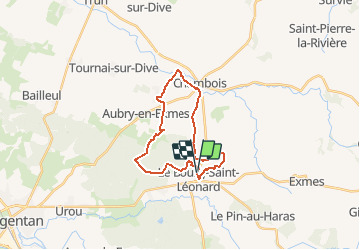


43 km | 53 km-effort


Gebruiker


Gratisgps-wandelapplicatie
 SityTrail
IGN / Geografische instituten
SityTrail World
De wereld gaat voor u open
Tocht Stappen van 20 km beschikbaar op Normandië, Orne, Gouffern en Auge. Deze tocht wordt voorgesteld door neitag61.
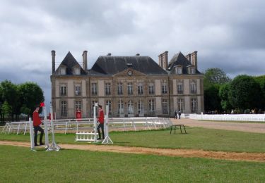
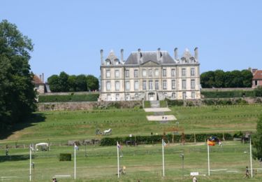
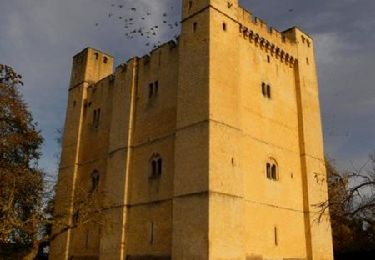
Départ arrivée au pied d"un magnifique chateau. Passage du coté de Trun, un des hauts lieux de la dernière bataille de Normandie en 1944
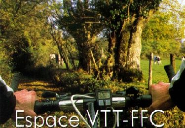
Mountainbike
Paard
Stappen

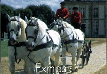
Paard

Mountainbike
Stappen

Mountainbike
Mountainbike
Mountainbike